Timeline of Google Street View
It seems that most people nowadays have at least seen Google Street View. It always baffles me how we take the things that we have today for granted – things like Facebook, YouTube, Google Maps, and Street View (to only name a few). All of these things didn’t exist in the 90’s, and now 10 – 15 years later, they are a necessary part of what we do. When was the last time you used an actual map for a road trip? I like to buy one when I take my family on a road trip, but honestly the GPS and phones do the navigation.
I wanted to take you through a quick synopsis of the life of Street View. Since one of our main services is providing Street View on the INSIDE of businesses, it only makes sense.
- On May 25, 2007 Street View was announced. (Can you believe it was only 6 years ago?)
- On May 30, 2007 Google identified Immersive Media as the image capturing contractor that photographed four of the original five cities that were mapped by Street View. Immersive Media continued to provide the 360 degree imagery until Google developed their own technology. Here is a video that was captured during Where 2.0 on May 30, 2007 when Immersive Media demonstrated their technology.
- Since 2007 Google has used only images that were owned completely by Google.
- Around December 2007 is when our very own Salt Lake City was added to Street View.
- On April 16 ,2008, Street View had been fully integrated into Google Earth.
- On May 12, 2008, Google announced that they were testing face-blurring technology based on an automated algorithm.
- On June 10, 2008, Google released an update that included an effective mask of the Google Car, and the application of face-blurring to all photos. This, however, resulted in a lowering of resolution of all imagery on Street View.
- On July 2, 2008, Google began to capture images in France and Italy, also introducing their 4th generation cameras. This was the first time they provided the service outside the United States, and initially captured images of small towns and a lot of the Tour de France route.
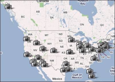
- On August 4, 2008, Google added 28 more Street View icons of major metropolitan areas in Australia and Japan. Included in this release were 40 more U.S. hub cities.
- On December 1, 2008, New Zealand was added to Google Street View. In this release the faces were blurred but the car license plates were not.
- On November 26, 2008, all of the Street View icons were deleted and replaced with the “pegman”. You could then access Street View by clicking and dragging Mr. Pegman over the map. If Street View imagery was available the area would be outlined in blue lines where you could drop the pegma and would be taken to Street View.
Old Street View

Street View Pegman
- On April 9, 2009, full-screen mode was made available on Street View.
- On June 5, 2009, Smart Navigation was introduced to Street View. This allowed users to double click on any place that they wanted to see. If imagery was available they would be taken to that spot.
- In June 2010, Google added blue squares to its maps that displayed user-submitted images around the world.
- Around May 2011 Google launched the Google Business Photos. The project seems to have been under experimentation since early 2010. Originally Google would send their photographers into businesses for free to capture images for Street View. You could then take a full 360 degree tour of the inside of businesses. Access to this service was limited. You had to submit your name to Google, and the original service only covered a hand full of major cities in the U.S., Australia, New Zealand, Japan, S. Korea, and France.
- On October 30, 2012, Google announced that the public would be able to contribute to Street View by using their Nexus Galaxy smartphones to capture 360 degree panoramas and then uploading to Google.